
Introduction
Location Map
Base Map
Database Schema
Conventions
GIS Analyses
Flowchart
GIS Concepts
Results
Conclusion
References
![]()
"Construction of a stream network and analysis of the pasturelands with high risk to erosion and runoff in the Coto Brus County of Costa Rica"
Introduction
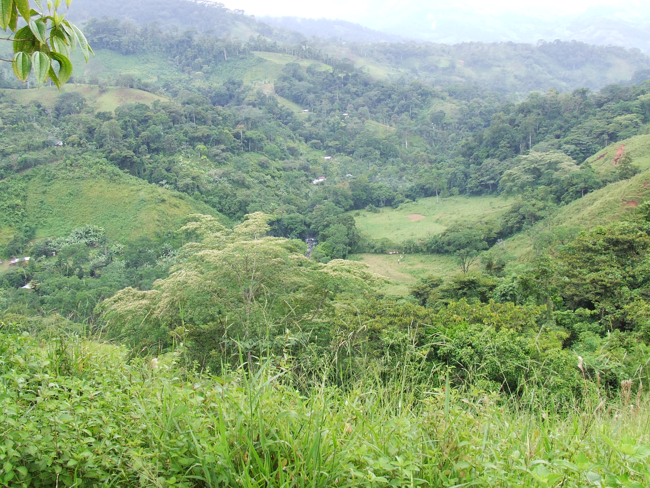
The Coto Brus County is located in the southern part of Costa Rica and includes five districts (Pittier, Sabalito, San Vito, Limoncito, and Aguabuena) which are primarily agricultural land. In the 1950s and 1960s extensive clearing for cattle pasture left just a few scattered forest remnants.
Coto Brus comprises an area of 94279 hectares with an elevation from 148 to 3240 masl. The climate is slightly seasonal with average annual precipitation of 3820 mm and average annual temperature of 20.7 °C (Organization for Tropical Studies 2014). The landscape is dissected by streams and mountains with slopes ranging from 10 to 70% (Jin et al. 2000). Because of the precipitation regime as well as the topography, landslides and land slumping are common disturbances. Both intensive agricultural practices and intensive grazing can exacerbate such effects.The increasingly demand in food for larger populations have pushed farmers to cultivate marginal areas which area ecologically fragile (Mwendera et al. 1997).
The carrying capacity is the number of animals that a farming operation can stand throughout the year. The stocking rate is an indicator of the amount of animals (or animal units) that graze a standardized area (hectare or acre). Both indicators consider the biomass available for cattle, and a level of efficiency with which cattle graze (% of utilization). Mwendera et al. (1997) mention how livestock can alter pasture land properties through a decrease in the vegetation cover which increases in turn the impact of raindrop, decreases soil organic matter and soil aggregates, increases surface soil crusts, and decrease water infiltration rates.
Clear-cutting or clearcut logging is a forestry practice in which most trees in an area are uniformly cut down from specific spots in the middle of the forest. This was a common practice early in Coto Brus, followed by sowing of non-native grass species such as African Stargrass (Cynodon nlemfuensis) and species of the genus Bracharia. Tropical pastures are highly productive, allowing the utilization of high stocking rates; however the effect of slope and high precipitation regimes are rarely considered when estimating the carrying capacity of pastures. During the rainy season the biomass yields in tropical pastures are typically higher, however the risk of runoff and erosion are higher as well. Agricultural land in tropical areas has been developed on steep areas surrounding headwaters located in high elevation that in turn can bring sediments to the lowlands.
The approach for this project was to develop the watershed for the Coto Brus County based on topographic curves. The slope was then estimated for the pastureland cover and assessment for the areas prone to erosion and runoff was also developed. Livestock operations are located in steep areas where the grazing management comprises rotation of pastures, but, the application of GIS concepts can allow reducing the runoff and erosion in the study area when accounting for the slope and elevation. The Normalized Difference Vegetation Index (NDVI) was estimated for two years as a support for the change in land cover in the same area. Adequate grazing management can enhance physical and chemical conditions of tropical soils by avoiding overgrazing and trampling areas with higher slope.