Introduction
Location Map
Base Map
Database Schema
Conventions
GIS Analyses
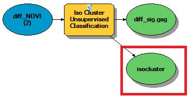
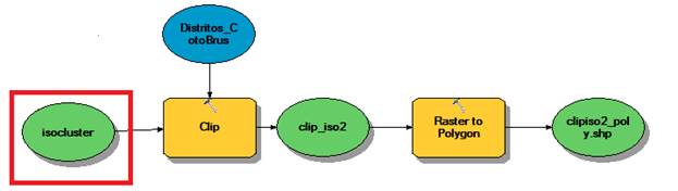
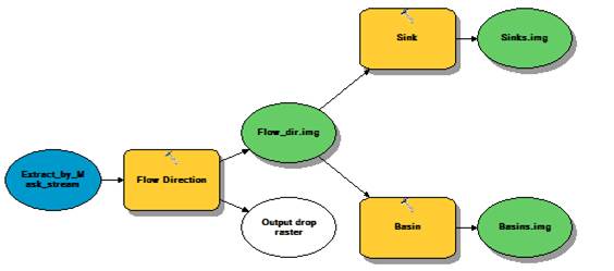
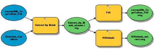
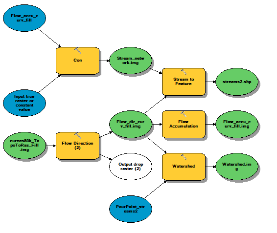
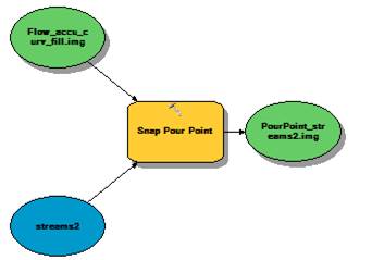
Flowchart
GIS Concepts
Results
Conclusion
References
![]()
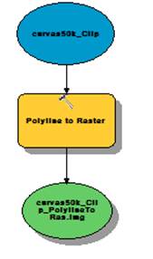
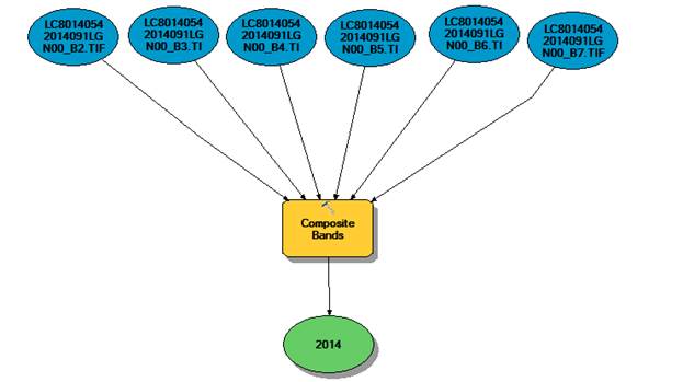
Flowchart
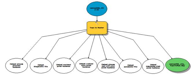
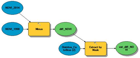
Flowchart
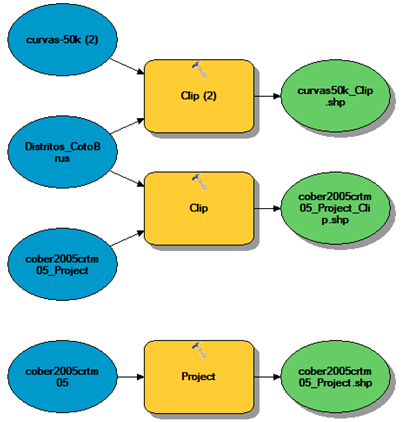
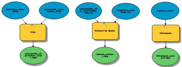
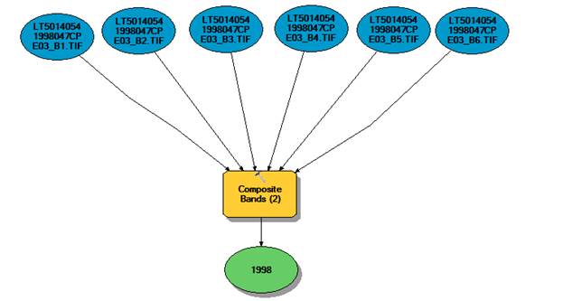
Land cover re-projected
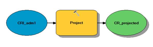
Location Map
Base Map
DEM developed from Topographic curves
Data analyses
NDVI
Watershed
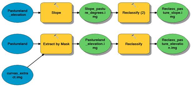
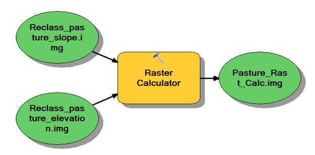
Slope pastureland