
Introduction
Location Map
Base Map
Database Schema
Conventions
GIS Analyses
Flowchart
GIS Concepts
Results
Conclusion
References
![]()
Conclusion
NDVI
The images that we used to get the NDVI were acquired from different Landsat satellites, and from far apart years. We didn’t calibrate the images, so the results obtained might not represent the real changed in vegetation in the Coto Brus County. We still wanted to use this tool to show how it works, and how to compose the images from the Landsat satellite bands.
On the other hand, even if we could have calibrated the images, the results obtained might have shown a change in vegetation, but we would not have been able to determine the causes of that change. One reason it’s because we didn’t correlate the NDVI values with ground-measured values. Another reason it’s that NDVI values are sensitive to several perturbing factors, such as atmospheric effects, the presence of clouds, soil effects, anisotropic effects, and spectral effects, all of which can contribute to errors in the NDVI values calculated.
Pastureland slope and elevation
The Coto Brus County accounts for 34348 hectares of grazing lands, from which 1648 hectares were found to be more susceptible to the effect of trampling due to the presence of both high elevation and high slopes. Runoff is usually higher in pasturelands with higher slopes whereas lower slopes have shown to be more resilient to heavy grazing pressures without causing serious soil erosion (Mwendera and Mohamed Saleem 1997).
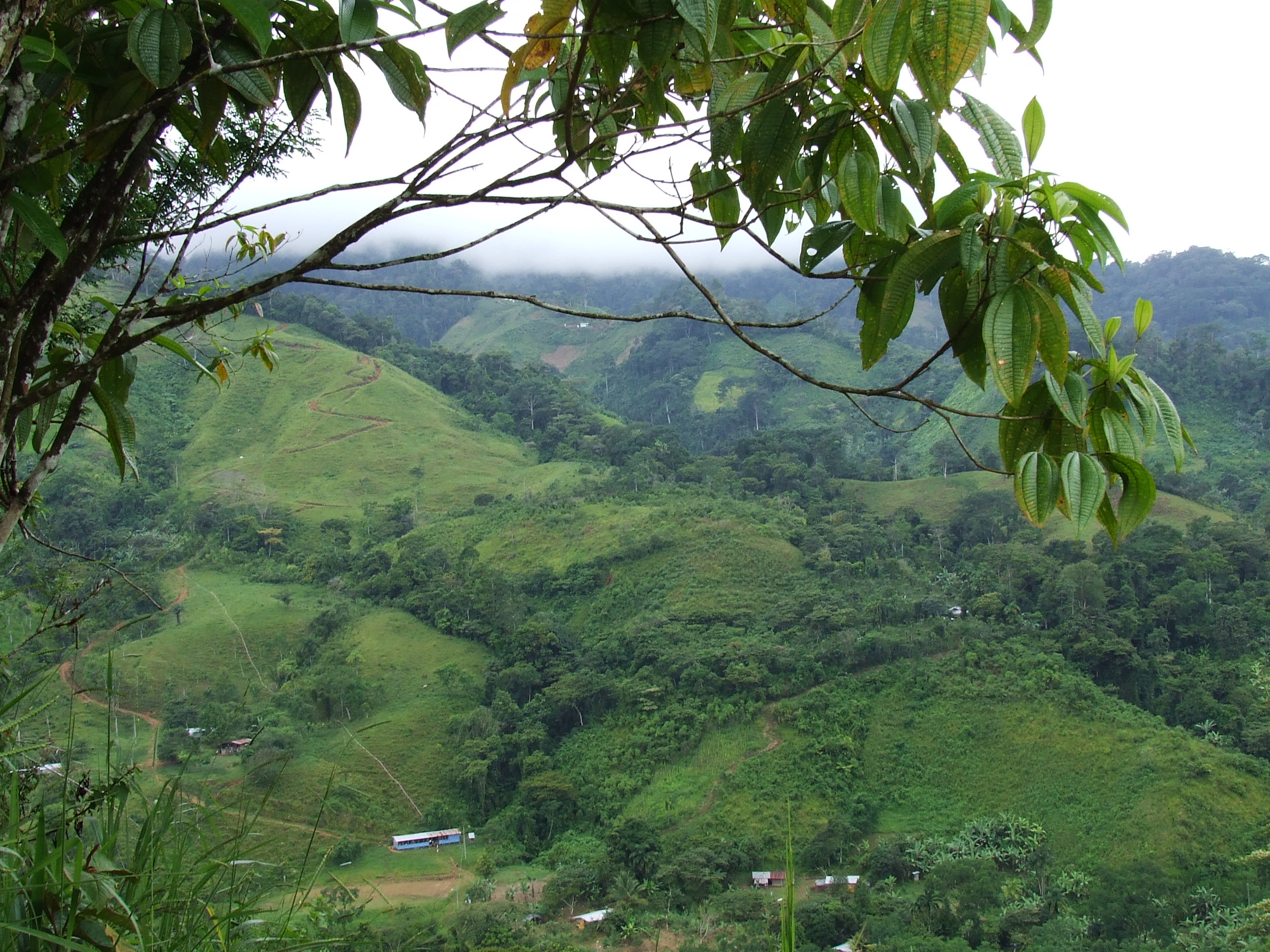
The watershed constructed for the study area showed how the county is dissected by water streams that are typically nearby to farming/ranching operations. The agricultural practices developed in the highlands of Coto Brus County can affect the hydrology in the area and have a significant impact on the water resources of the lowlands where most streams flow.
Grass species with both rhizomatous and stoloniferous growth, such as those from the genus Cynodon, have proven to stand very close and intensive grazing elsewhere (Mwendera et al. 1997). Cynodon nlemfuensis (African Stargrass) is adapted to the weather conditions in the study area, being one of the most dominant pasture grasses. Areas with higher slope and, higher elevation could stand the effects of grazing/trampling through the sowing of grasses of the genus Cynodon that can be adapted from the sea level to 2300 masl in sub-tropics and tropics (Cook et al. 2005) and that have a rapid regrowth to compensate for the effects of defoliation (Mwendera et al. 1997). Also, grazing management practices such as rotational grazing, and fertilization must be encouraged in the farmers as a means to make their operations more sustainable.
The ranchers/farmers in Coto Brus County need to account for both slope and time specific grazing management practices in order to avoid excessive trampling, erosion, and runoff. The decrease in vegetation cover generated by continuous grazing systems, can be ameliorated throughout the application of adaptive grazing management practices. In the long-term, the effects arising from runoff and erosion will be lower yields and productivity of pasturelands.