Introduction
Location Map
Base Map
Database Schema
Conventions
GIS Analyses
Flowchart
GIS Concepts
Results
Conclusion
References
![]()
Base Map
Base Map
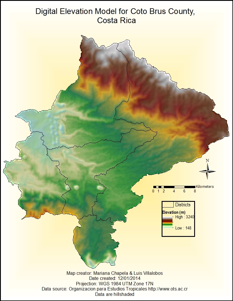
The following map shows the Digital Elevation Model for Coto Brus County created from a Topographic polyline file. Data are hillshaded.
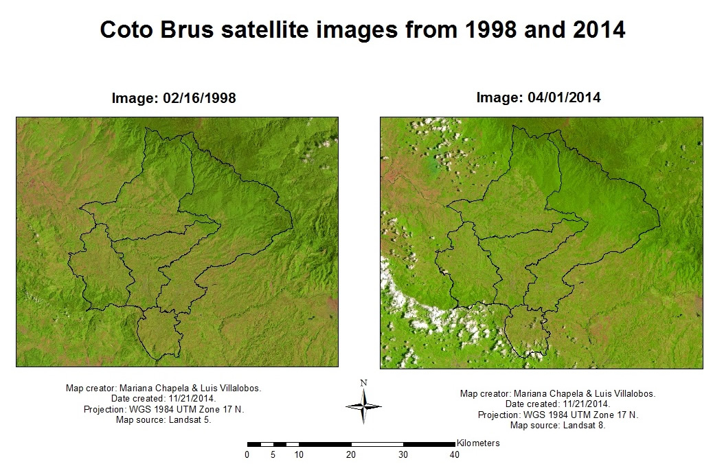
Change in land cover for two years in the area of study. These two satellite images were used to create an estimate of NDVI