Introduction
Location Map
Base Map
Database Schema
Conventions
GIS Analyses
Flowchart
GIS Concepts
Results
Conclusion
References
![]()
Base Map
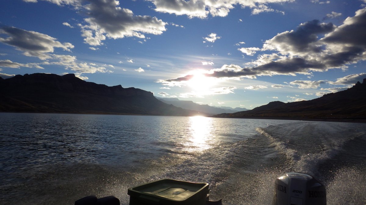
Buffalo Bill Reservoir Base Map: Large Scale Dataset Analysis
Buffalo Bill Reservoir was formed after a dam was placed on the Shoshone River, just downstream of the confluence of its North and South forks. The town of Cody, Wyoming is 7 miles downstream of Buffalo Bill Dam


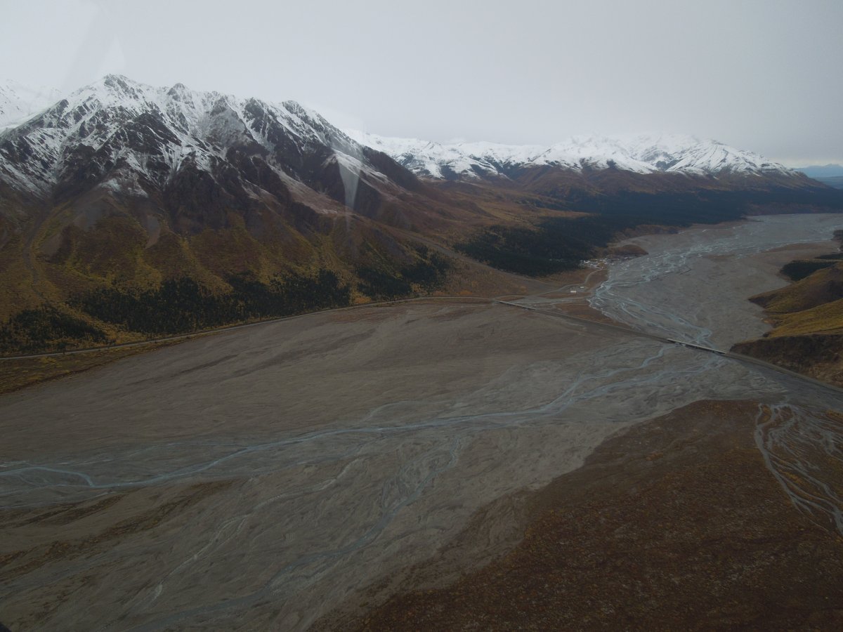
Toklat River Base Map: Small Scale Dataset Analysis
The Toklat River's headwaters lie within Denali National Park and Preserve, Alaska. The Park currently extracts over 22,000 cubic yards of gravel biennially from an area of floodplain closest to the park road. After over 3 decades of this practice, increased effort is being made to understand the impacts of mining this natural resource.