Introduction
Location Map
Base Map
Database Schema
Conventions
GIS Analyses
Flowchart
GIS Concepts
Results
Conclusion
References
Results
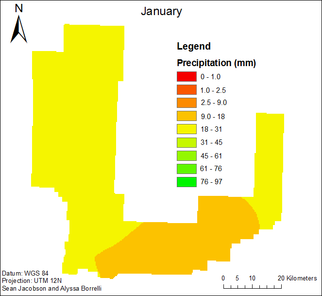
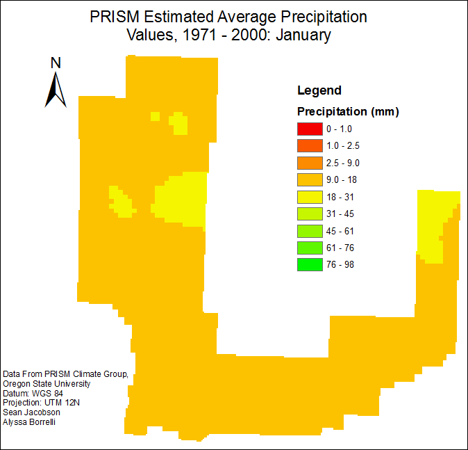
Precipitation
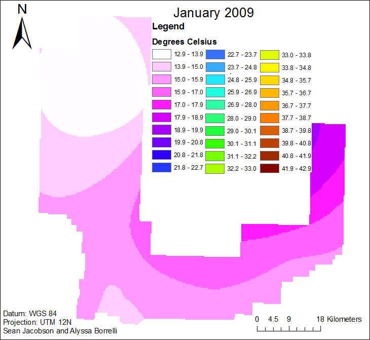
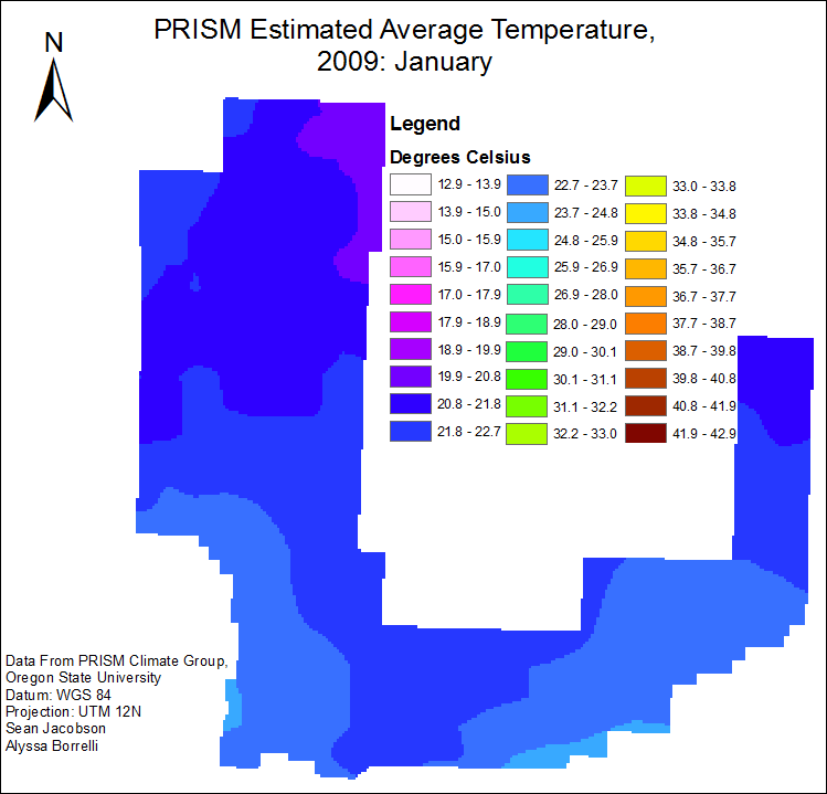
The animation below is the result of the precipitation krigs for each individual month based on the weather station data. The first map displays the estimated average precipitation for each given point in the study area for the given month, from 1997-2009. The data used is from Gabriel Langbauer, a member of the YPG meteorology team, and WRCC. The second animation is the estimated average monthly precipitation from the PRISM climate group. These maps were created on 12/1/10.
Maximum Temperature
The first animation below is the result of the krigs of the average maximum temperature for each given month based on the YPG weather station data. The map displays the estimated average maximum temperature for each given point in the study area for the given month. The data used is also from Gabriel Langbauer, a member of the YPG meteorology team, and WRCC. The second animation is the estimated average monthly maximum temperature from the PRISM climate group. These maps were created on 12/1/10.