Introduction
Location Map
Base Map
Database Schema
Conventions
GIS Analyses
Flowchart
GIS Concepts
Results
Conclusion
References
![]()
Conclusions
Conclusions
Through our analysis we have produced results on the influence of fire on the landscapes of Hall and Heil Valley Ranches. The density analysis shows that Heil Valley Ranch had a greater density of fire on the landscape than Hall Ranch. Although Heil Valley Ranch had a greater density of fire throughout the analysis period, Hall Ranch had a greater amount of fire years that were recorded on fire scarred trees. When the two properties are grouped together in terms of amount of recorded fire years, there was a much greater amount of fires recorded in the pre-settlement era (before 1860) in comparison to the post-settlement era (1860-present). Although the post-settlement era is a shorter time period than the pre-settlement era, the substantial difference in recorded fire years between the two time periods is indicative of the influence of fire on the landscape.
This difference also translates well into the analysis of canopy cover area between these two time periods. If fire had a greater influence on the landscape in the pre-settlement era, there is likely to be lower canopy areas of forest stands, as fire would have continuously affected the spatial complexity of the trees on the landscape. As the effect of fire on the landscape is reduced in the post-settlement era, trees are likely to achieve higher densities, and therefore greater canopy areas, as a result of reduced fire-induced mortality. Our canopy analysis supports this hypothesis as there is a much greater canopy cover area in the post-settlement era (young trees) in comparison with the pre-settlement era (old trees). In addition to this information, our cost analysis to access areas within the property boundaries of the two ranches showed that it may be more difficult, and therefore more costly, to access areas with steeper slopes, areas further away from roads, and areas that involve greater numbers of stream crossings. This information can be extremely valuable to land managers when planning for future management or incident responses.
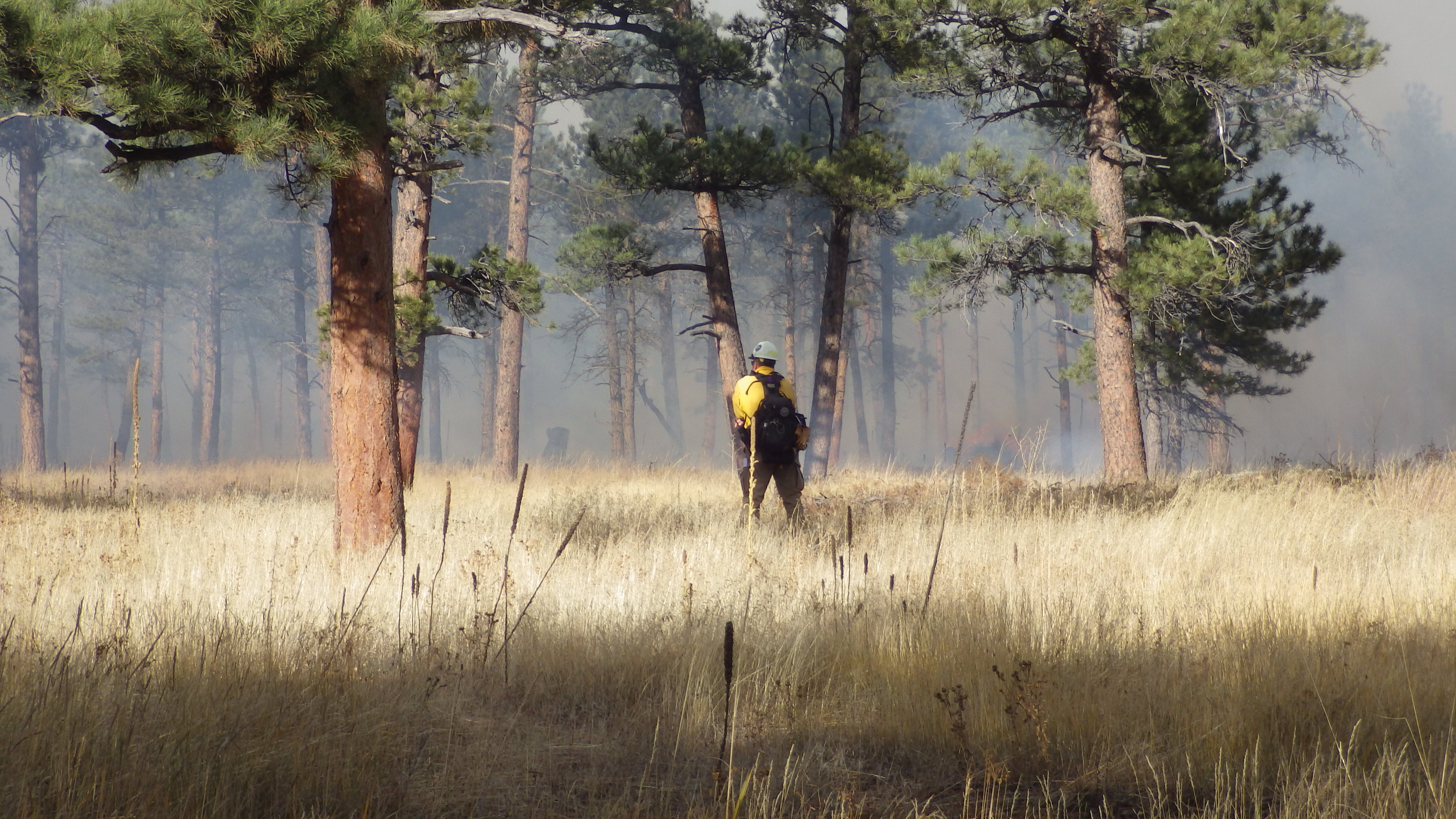
photo credit: Chris Wennogle
The information derived from this analysis can be used for future land management operations throughout the South-Western United States. An understanding of the history of fire on the landscape and how it translates into forest composition and structure is vital to the management of future forests. While this analysis is specific to two property areas on the Northern Front Range of Colorado, the results can be applied to similar ecosystems across the Western United States. With this information, land managers have more tools to understand the spatial complexity of ponderosa pine ecosystems and how fire contributes to this complexity. Therefore, the frequency and intensity of fires identified in this analysis can be used as a guide to utilizing fire as a tool to control and manage these ecosystems to a desired state.
This site-specific information produced through this analysis for both Hall and Heil Valley Ranches may also be useful for the future management of these properties. The data produced may facilitate the planning of future management activities on the properties to achieve a desired forest structure and fire regime. In addition, the least cost path analysis can indentify the difficulty or ease of managing specific areas of these properties based off of slope, road access, and stream crossings. This information could be extremely useful for Boulder County officials when analyzing the feasability of accessing certain areas of these properties for fire management or mechanical treatment purposes.