Introduction
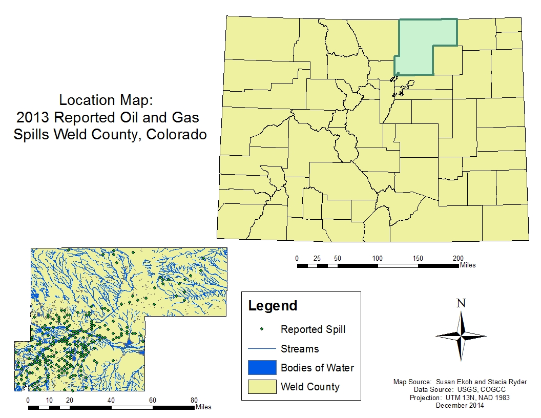
Location Map
Base Map
Database Schema
Conventions
GIS Analyses
Flowchart
GIS Concepts
Results
Conclusion
References
![]()
Location Map
2012 Reported Oil and Gas Spills, Weld County, Colorado
For this project, the study area is Weld County, Colorado. Weld County is a hub of oil and gas activity, with over 18,000 wells within its 4,022 sq ft boundaries. Not only is Weld County a good location for analyzing spills because of the sheer volume of production, but the 2013 floods also contriubted to spills across the county, providing an interesting case for analysis.