Introduction
Location Map
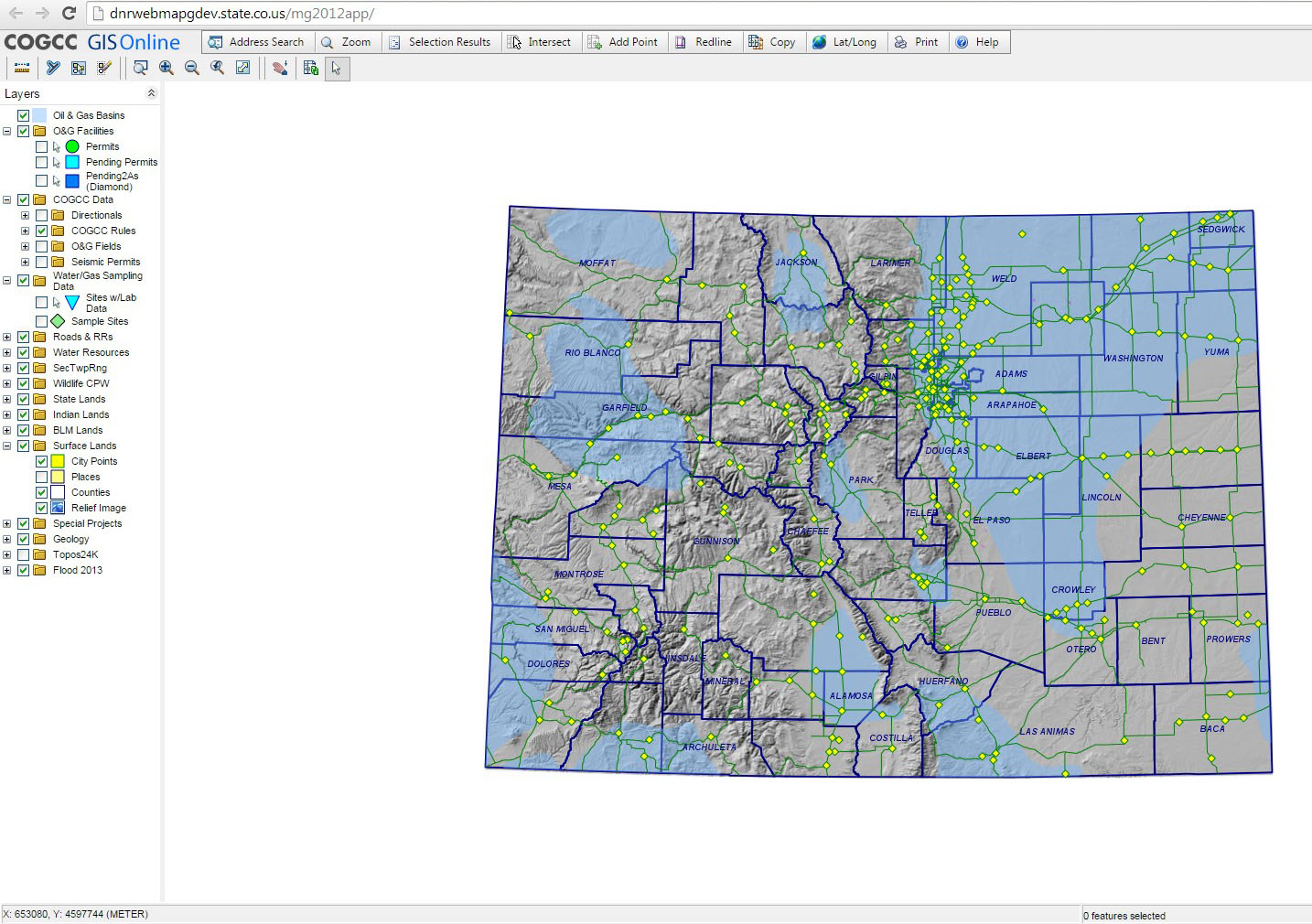
Base Map
Database Schema
Conventions
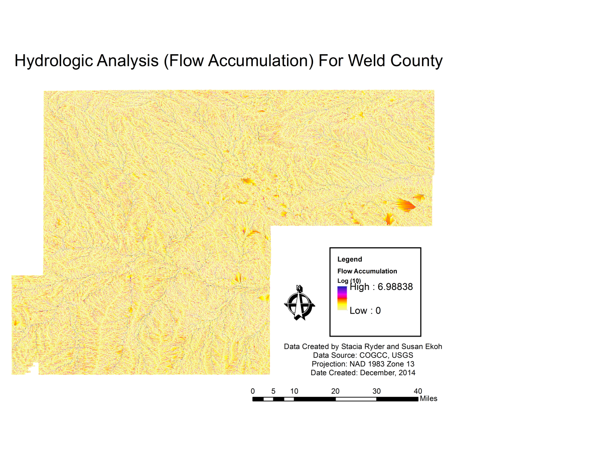
GIS Analyses
Flowchart
GIS Concepts
Results
Conclusion
References
![]()
GIS Analyses
GIS Analyses
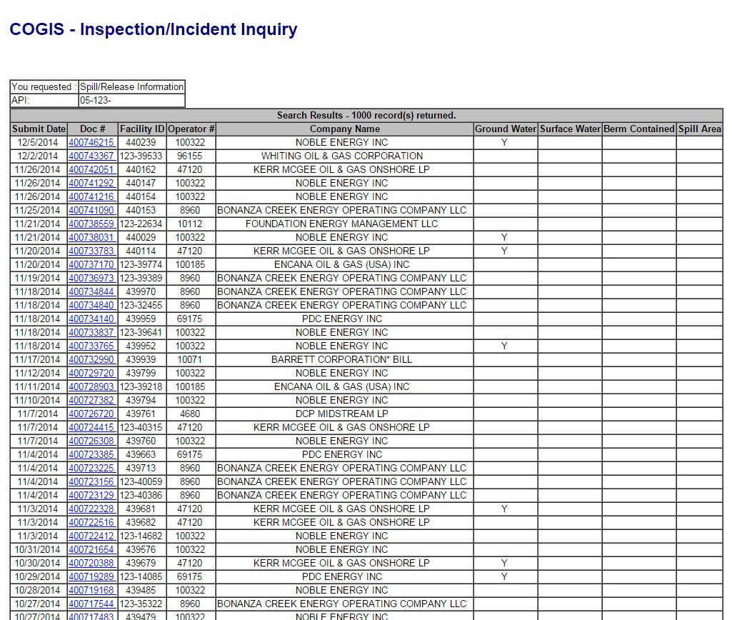
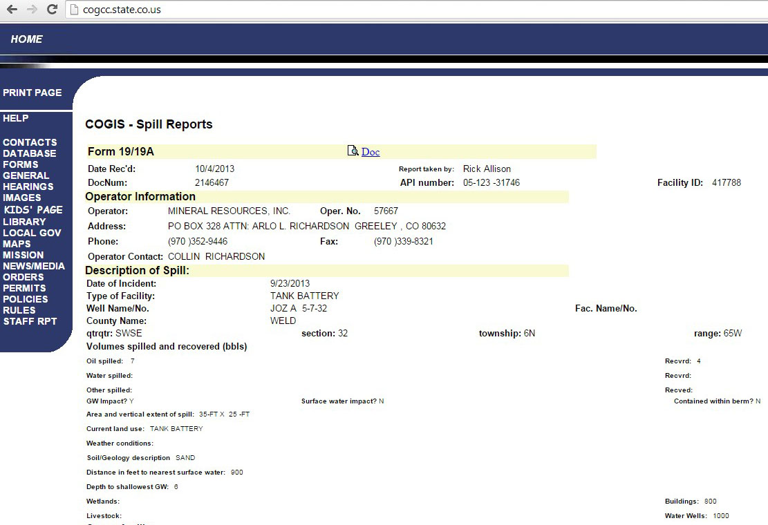
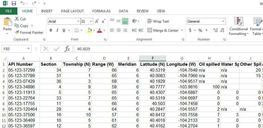
Data Collection and Preparation
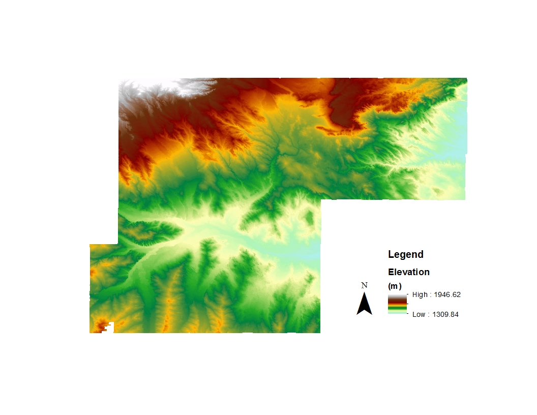
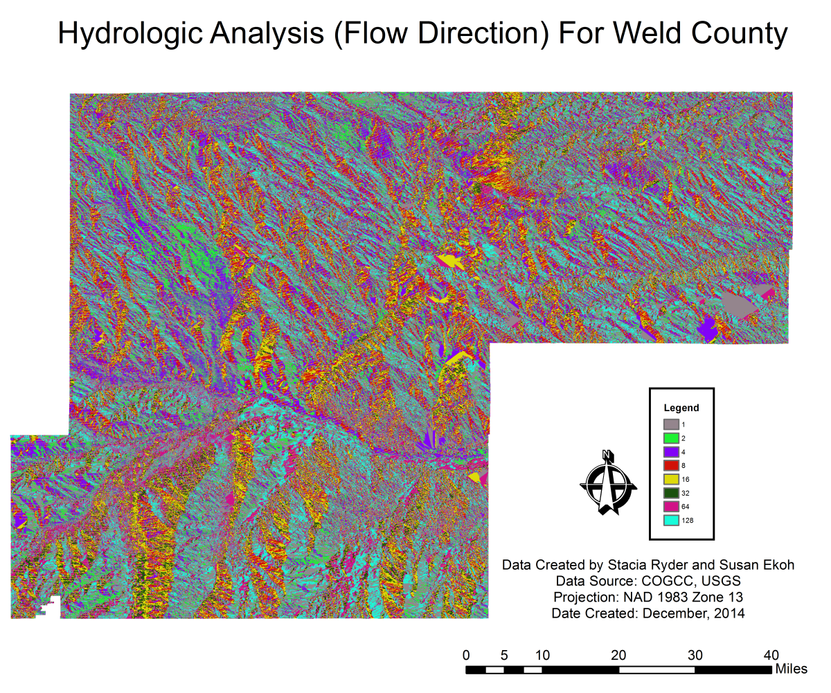
Elevation
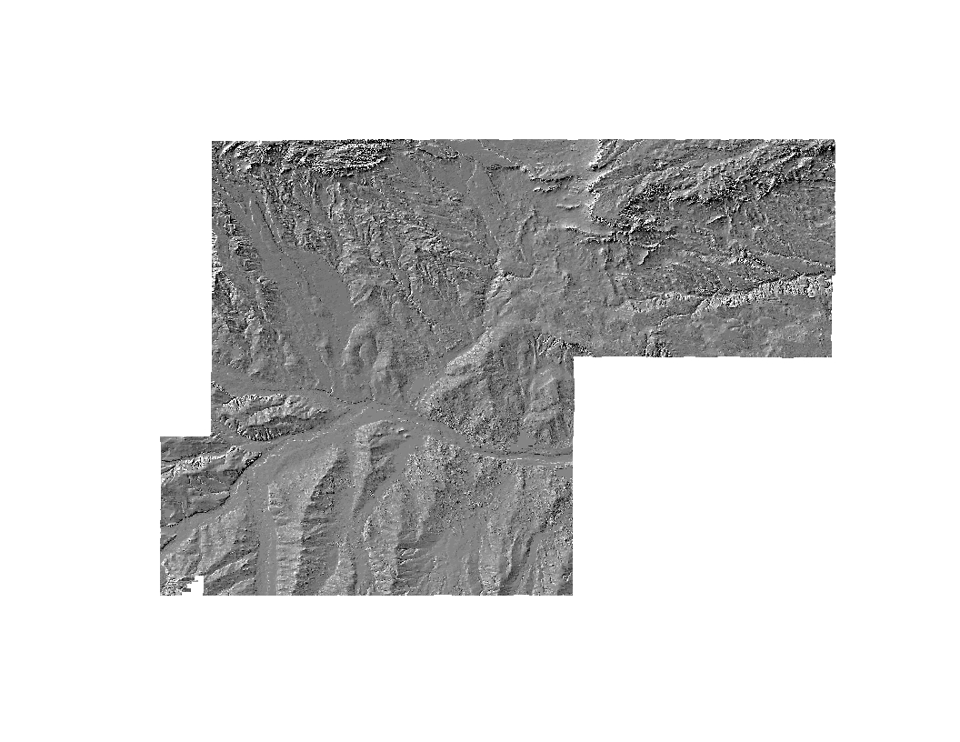
Hillshade
Data Analysis
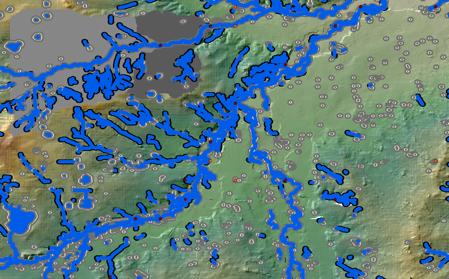
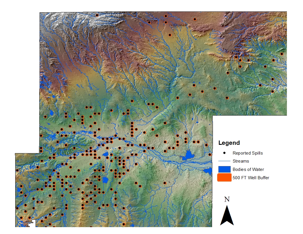
2013 Spills with 500-Foot Buffer
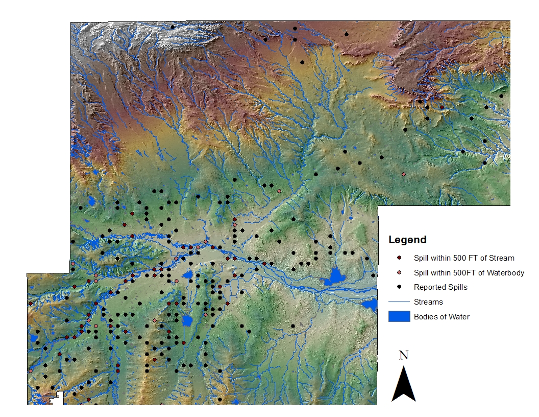
Identifying 2013 Spills within 500-Feet of Streams and Waterbodies in Weld County
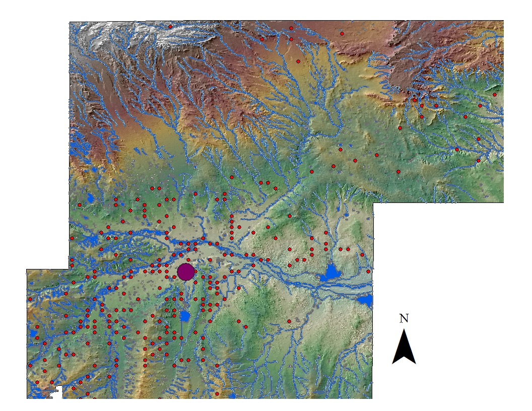
Locating the geographic mean center of the 2013 Spill locations
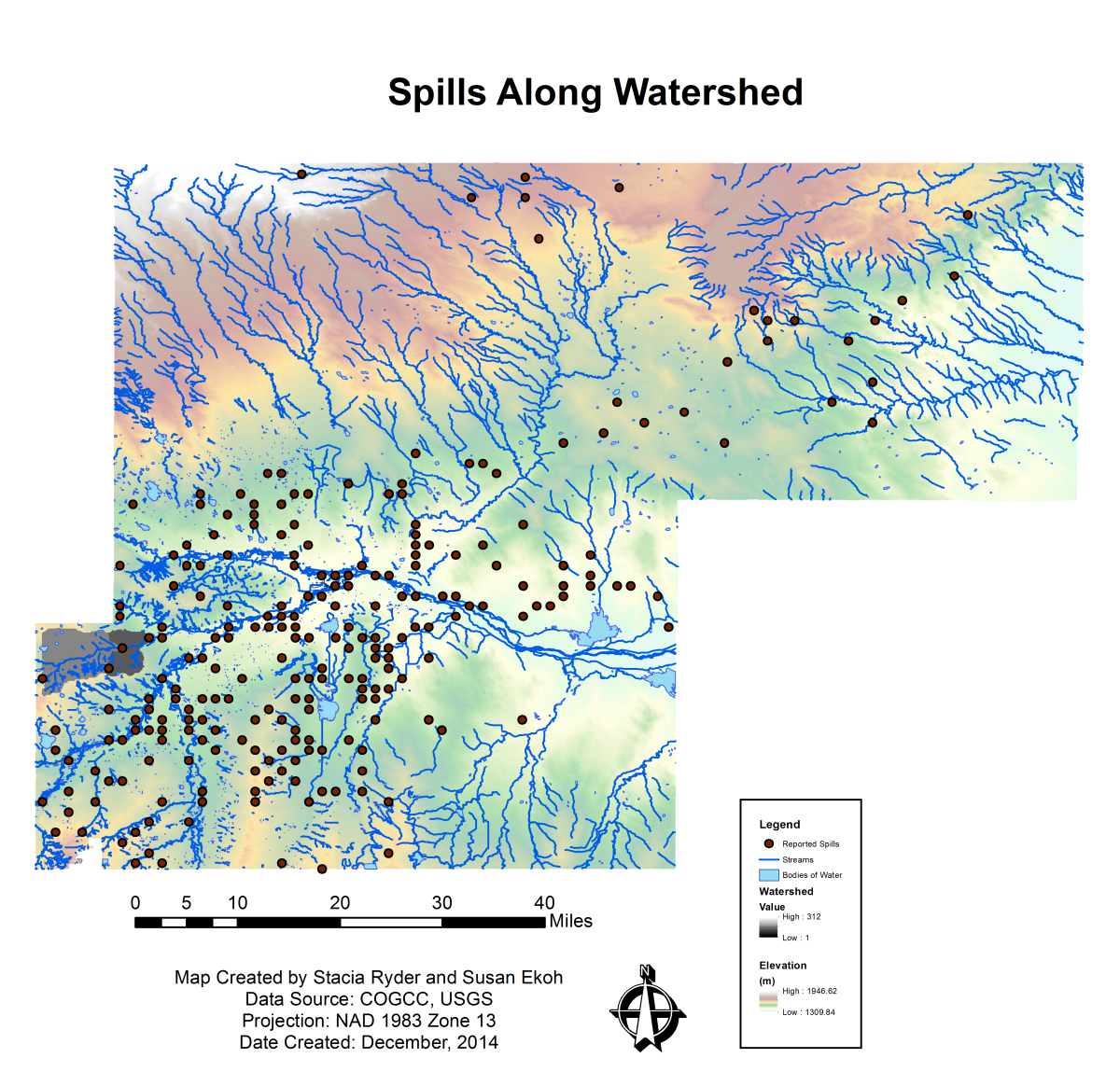
2013 spills within 500-feet buffersof streams (in maroon)and waterbodies (in orange)in one Weld County watershed