Introduction
Location Map
Base Map
Database Schema
Conventions
GIS Analyses
Flowchart
GIS Concepts
Results
Conclusion
References
![]()
Location Map
Location Map
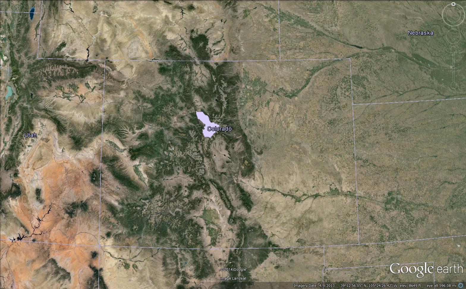
Summit County, Colorado is highlighed on this Google Earth image, showing the terrain and state boundaries around our study area.